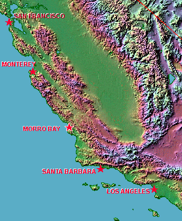
Map of Morro Bay |
||
Morro Bay
Is on the Central Coast of California |
||
|
||
|
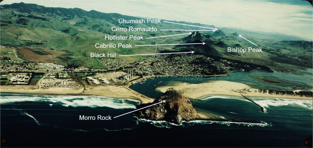
The image was originally created from elevation data and is derived from the Color Landform Atlas of the United States from The Johns Hopkins University Applied Physics Lab - Ocean Remote Sensing Group. Base map Copyright 1995 by Ray Sterner. All Rights Reserved Here's a nice Google of Morro Bay And, here's a large aerial photo of Morro Bay And, here's even a rocket scientist tutorial on satellite imagery of Morro Bay! |
||
|
Web Page © 2011 John Barta, All Rights Reserved. Copyright reserved on all photos & graphics. |
||